
CalLands maps cropland ownership across California
Two UCANR Cooperative Extension specialists have recently launched CalLands, a powerful online tool that can help users understand how land ownership impacts California's croplands.
To build the CalLands' interactive website, Luke Macaulay and Van Butsic — both assistant UC Cooperative Extension specialists based in UC Berkeley's Department of Environmental Science, Policy, and Management — combined satellite-generated maps of land cover created by the U.S. Department of Agriculture with publicly available land ownership records. Next, they anonymized ownership identity and pulled data from all 58 California counties to include parcels of land larger than five acres. The result is a database that features 543,495 privately-owned properties across the state, creating a data-rich map of crops and ownership boundary lines in every county. The interactive map can be filtered by county to display characteristics of land ownership, percentages of private and public ownership, breakdowns by crop-type, and summaries of land-use statistics.

CalLands allows users to explore how crops are distributed within a county or across the state or understand how ownership size impacts how land is used. In a 2017 study on cropland ownership published in California Agriculture, Butsic and Macaulay discovered that the largest five percent of properties account for 50 percent of California cropland. The two created CalLands with the aim of helping a wide variety of stakeholders understand land cover and land use at the county and individual land ownership scale.

“CalLands helps expand people's understanding of the landscape and how farmers across the state are using their land,” Macaulay says.
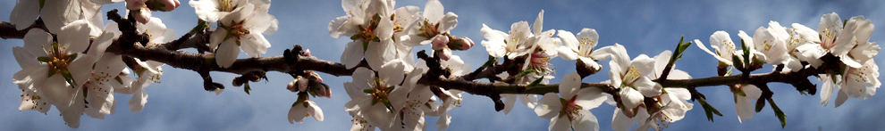
The website tells the story in visual terms of the location of key crops over time, including water-intensive plants like alfalfa and almonds, and illustrates the locations and acreages of both annual and perennial crops. This information may be useful for those seeking to understand agricultural water use and expansion and change of crops over time. The team hopes that the tool will also help scientists conduct research that is beneficial to many agricultural stakeholders, such as UC Cooperative Extension specialists creating outreach programming, county officials proposing regulations, and resource managers hoping to understand cropland production.
Currently, CalLands features cropland data from 2013-2017, allowing users to toggle between these annual datasets. Macaulay and Butsic plan for future versions of CalLands to include the capability of producing graphs to help users understand how crop planting changes over time as farming shifts and land changes hands. “We look forward to adding more features to CalLands,” Butsic said. “We want to implement changes on the site based on what Californians need.”
